
Trip, Paul and Annika meet the Dep. of Agriculture in Bighorn

Road cut with geological reference marker (note that ubiquitous
Red Bed layer in the rock common to this era)
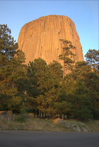
Devil's Tower
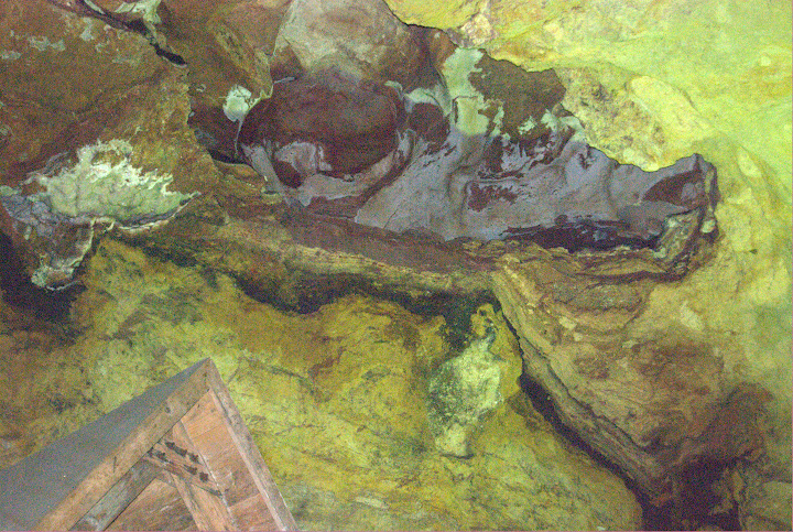
Sulfur on the cave ceiling
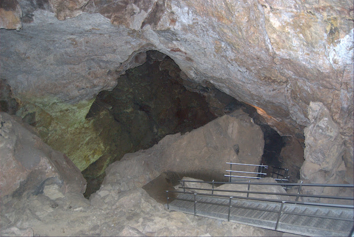
Cave with molybdenum deposits
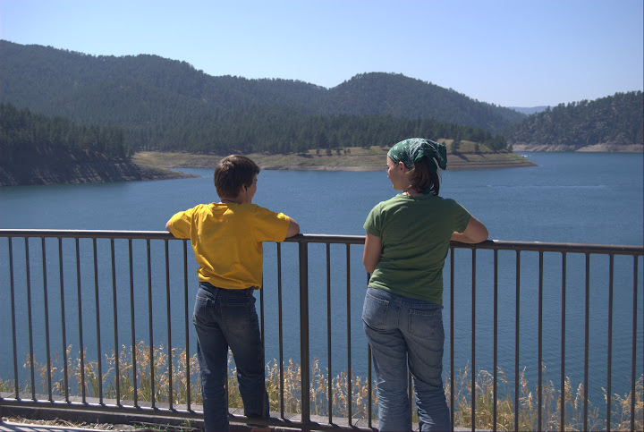
Black Hills

A long way from Sagamore Hill
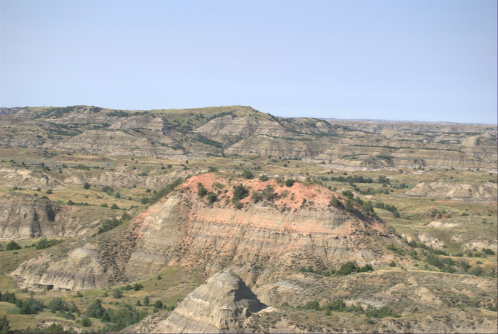
Badlands
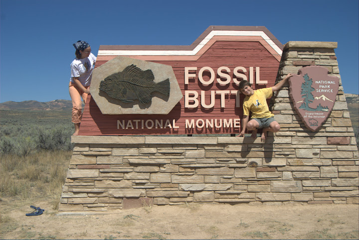
Paul hides the "E" in Butte--haha.
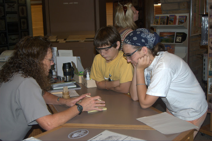
Park rangers share fossil digging tips
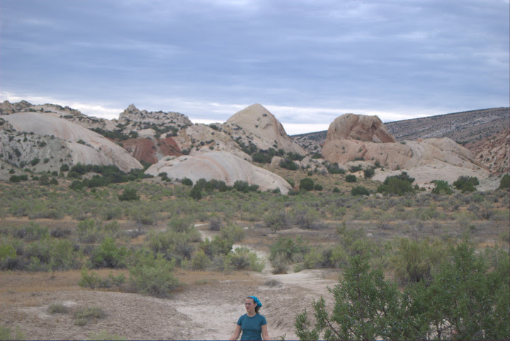
Petrified sand dunes
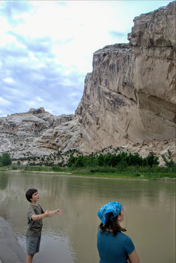
Learning about "big" by the Snake River
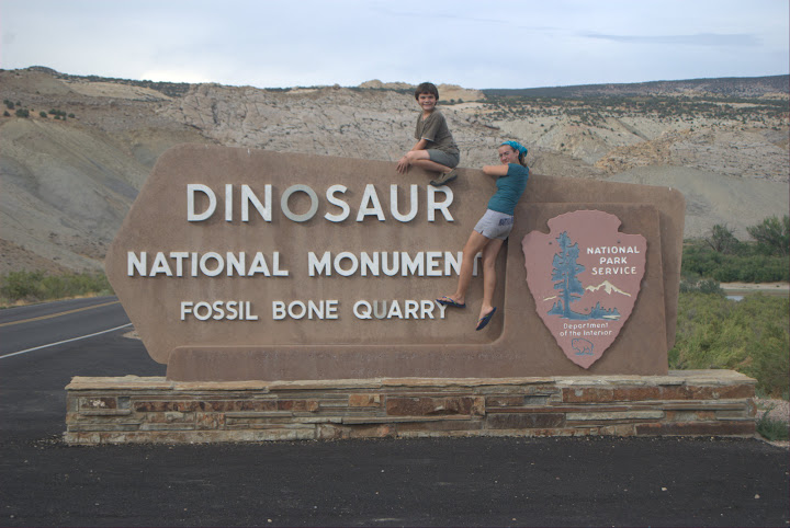
Another national park full of geology
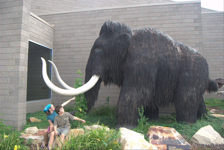
Getting to know the former locals
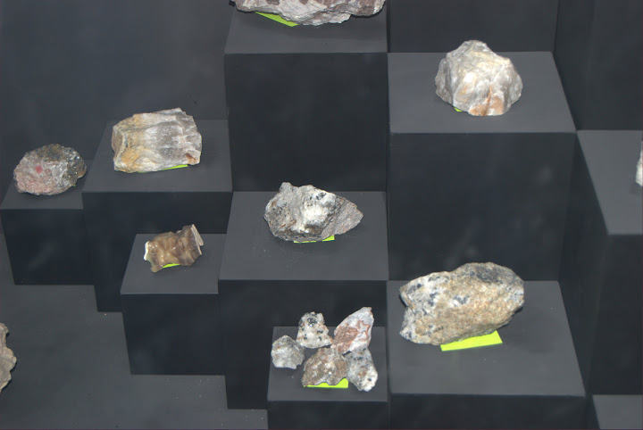
Samples on display
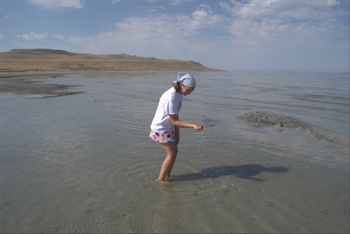
The Great Salt Lake
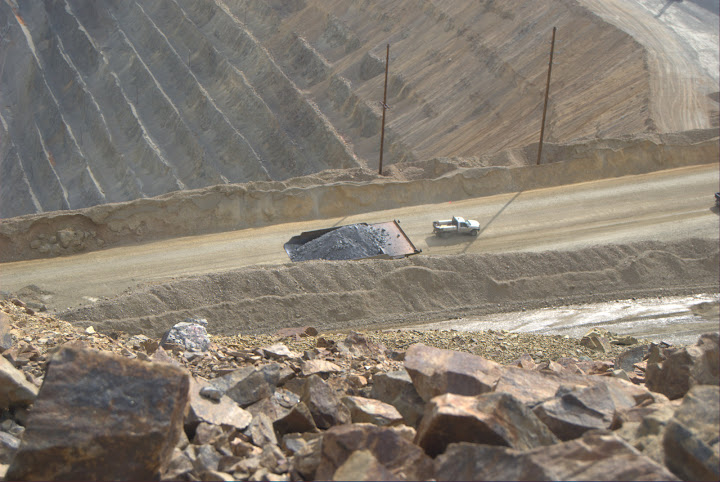
Copper mining
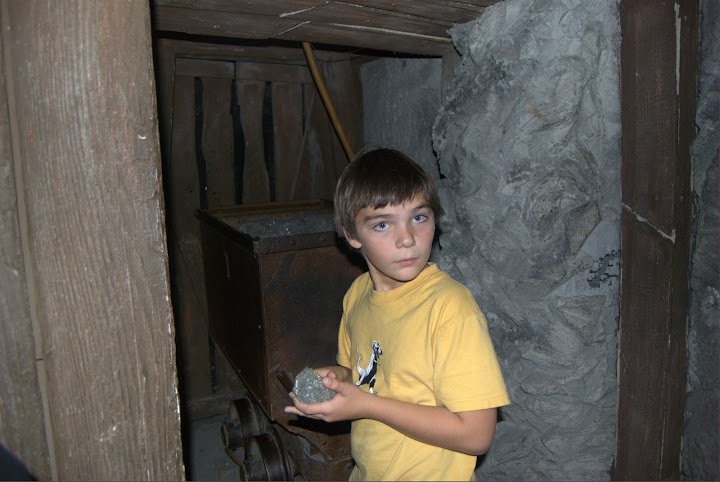
Mining museum
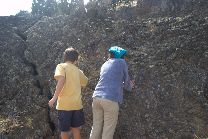
Lava beds in Idaho
 Trip, Paul and Annika meet the Dep. of Agriculture in Bighorn
 Road cut with geological reference marker (note that ubiquitous Red Bed layer in the rock common to this era)
 Devil's Tower
 Sulfur on the cave ceiling
 Cave with molybdenum deposits
 Black Hills
 A long way from Sagamore Hill
 Badlands
 Paul hides the "E" in Butte--haha.
 Park rangers share fossil digging tips
 Petrified sand dunes
 Learning about "big" by the Snake River
 Another national park full of geology
 Getting to know the former locals
 Samples on display
 The Great Salt Lake
 Copper mining
 Mining museum
 Lava beds in Idaho
4 comments:
Looks like you're done with the course already, MacBeth! We never really studied geology at the high school level, but it's an interest, so I really enjoyed these photos. And I like the fact that you have ways to study all these things without textbooks. In fact, that's how I found your blog to begin with, looking for science resources.
I'd recognize the picture of Lake Pactola anywhere - one of my favorite places ever.
Glad you recognized it, Paula! I could not recall the name...
Laura, Libby never really did earth science, and Trip took it in school...this field trip was great because Trip had just finished the course, and Annika would be following my curriculum for earth science. Now that Paul is ready for it, I figured I'd jog his memory with the photos. I hope we find the samples, too!
BTW, love following the tour of Italy you took. So many memories of Libby's tour of Tuscany in '04.
Post a Comment